
Corporate Campus & Retail Center Aerial Visuals
High-resolution aerial photography and 4K video for corporate campuses, retail developments, and commercial listings across The Woodlands.
High-resolution aerial photography and 4K video for corporate campuses, retail developments, and commercial listings across The Woodlands.
Safe, high-zoom aerial inspections to evaluate post-storm roof conditions and surrounding tree-canopy clearance.
Consistent aerial progress documentation, 2D site maps, and earthwork volumetric tracking for builders and project managers.
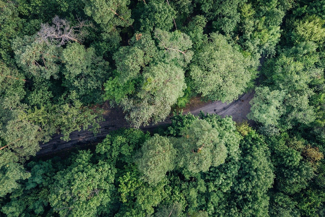
Commercial Property near Research Forest / Creekside Park, The Woodlands, TX
Capture high-resolution marketing visuals of the commercial site and document surrounding tree-canopy and roof conditions.
4K edited aerial video, 25 high-resolution commercial photos, and a detailed roof inspection image set.