
Commercial Real Estate & Land Development Media
High-resolution aerial visuals for land development, marketing, and commercial broker listings across Katy.
Delivering high-resolution aerial photography, construction progress tracking, and roof inspections across Katy, Cinco Ranch, Cane Island, and the I-10 / Grand Parkway (Hwy 99) corridor.
High-resolution aerial visuals for land development, marketing, and commercial broker listings across Katy.
Regular orthomosaic mapping and construction timeline tracking for builders and project managers.
Safe and detailed residential and commercial roof inspections using high-zoom aerial lenses.
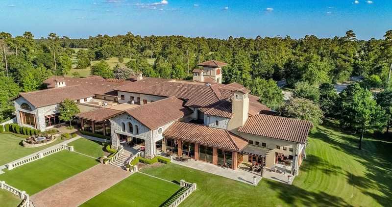
Commercial Retail Site near Katy Mills / Cinco Ranch, Katy, TX
Track weekly construction progress and earthwork volume for project stakeholders.
4K aerial video updates, 25 edited milestone photos, and a 2D orthomosaic site map.
Airspace Overview: Katy sits between West Houston Airport (KIWS) to the east and Houston Executive Airport (KTME) to the west. Because both facilities operate in non-towered Class G surface airspace, most commercial and residential sites in Katy do not require advance FAA airspace waivers—allowing faster turnaround times. Our Part 107 pilots actively monitor local CTAF radio frequencies, maintain strict clearance around I-10 and Grand Parkway (Hwy 99) hospital heliports, and follow Harris and Fort Bend County park ordinances.
Get reliable, FAA-compliant aerial photography, site mapping, or roof inspections anywhere in Katy, Cinco Ranch, and the I-10 / Hwy 99 corridor.
Request a Katy Project Quote