Droneshouston

Advanced Drone Mapping
Services in Houston

For construction, land development, roofing, agriculture, and infrastructure projects, accurate aerial data can make planning easier. In addition, professional drone mapping services in Houston help improve site visibility, project tracking, and operational efficiency. As a result, businesses can manage projects more efficiently while reducing delays and improving coordination across job sites. Using advanced UAV technology, our FAA-certified drone pilots create orthomosaic maps, 3D models, and geospatial data that support faster planning, safer inspections, and more informed decision-making.

Trusted Drone Mapping Experts for Accurate Geospatial Results

Better project planning starts with dependable aerial data. Therefore, our drone mapping services Houston companies use are designed for construction, infrastructure, agriculture, roofing, and land development projects. In addition, accurate UAV mapping helps improve site visibility, project coordination, and operational efficiency across active job sites.

As a result, businesses receive accurate imagery, useful site visuals, and reliable geospatial data without depending only on manual site checks. In many cases, this helps improve coordination, reduce delays, and support more efficient project management. Furthermore, drone 3D mapping, photogrammetry, and GIS-ready deliverables provide clearer insights for planning and development decisions. Whether a project requires aerial inspections, mapping, or advanced reporting, every solution is tailored around the site, timeline, and project goals.

Drone mapping services Houston aerial imagery for commercial surveying and urban planning

Our Commercial Drone Mapping Portfolio

Explore completed drone mapping services Houston projects featuring high-resolution aerial imagery, orthomosaic maps, and accurate geospatial data for construction, infrastructure, land development, and commercial surveying applications. In addition, our portfolio highlights drone 3D mapping solutions that help improve planning, inspections, and overall project efficiency.

Professional Drone Mapping Solutions

Accurate aerial surveying plays an important role in construction, infrastructure, and land development projects. Because of that, our drone mapping services Houston clients rely on are designed to improve planning, tracking, and operational efficiency through dependable UAV technology.

Rather than relying only on manual surveying methods, many businesses use advanced drone mapping technology to improve accuracy and reduce delays. In addition, FAA-certified drone pilots create orthomosaic maps, 3D models, and GIS-ready deliverables for commercial applications. Furthermore, advanced mapping workflows help support better project visibility and more efficient data collection across large job sites. Learn more about UAV safety standards through the Federal Aviation Administration. You can also visit our About Us page to learn more about our commercial drone mapping experience.

WordsCharactersReading time

Large-scale construction and development projects require accurate aerial surveying and dependable geospatial reporting. Because of that, our team delivers reliable UAV mapping support designed to improve planning, site analysis, and project tracking for engineers, developers, and commercial property teams.

Instead of relying only on traditional surveying methods, many businesses use advanced drone mapping technology to improve efficiency and reduce delays. In addition, FAA-certified drone pilots create orthomosaic maps, 3D models, and topographic outputs for a wide range of commercial applications. Learn more about UAV safety standards through the Federal Aviation Administration or visit our About Us page for more information.

Precision Drone Mapping for Better Project Planning

Accurate site analysis plays a major role in successful construction and development projects. Therefore, our drone mapping services Houston businesses rely on help developers, engineers, and survey teams collect orthomosaic maps, geospatial information, and high-resolution aerial imagery for more efficient planning and management.

Beyond traditional aerial photography, commercial UAV mapping supports agriculture, roofing, infrastructure, and land development operations of every size. Additionally, FAA-certified drone pilots provide drone 3D mapping, photogrammetry, and GIS-ready deliverables that convert complex site conditions into clear and actionable project insights.

Forest roadway aerial survey captured with drone mapping services Houston technology

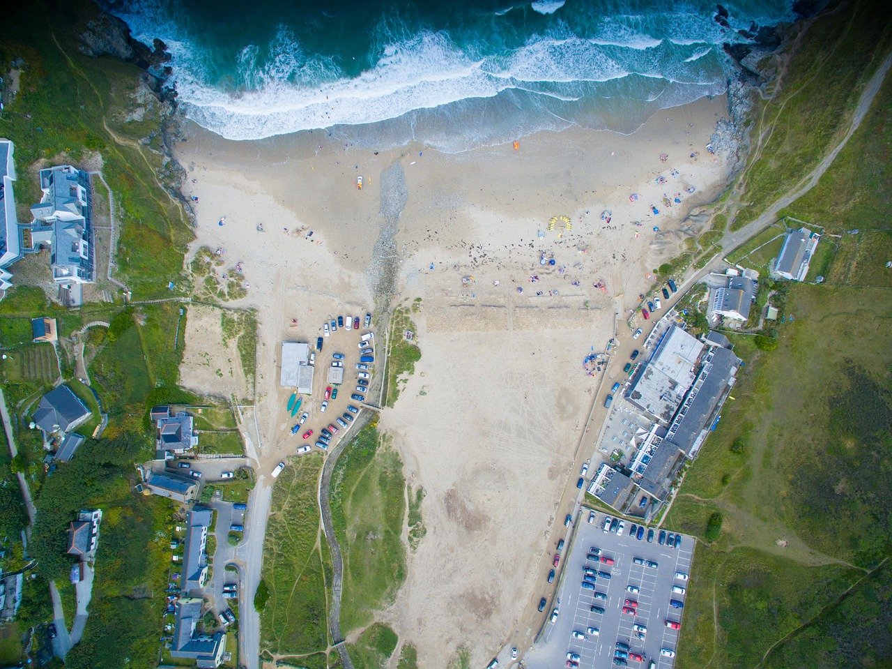
Why Choose Our Drone Mapping Team?

Reliable aerial data can improve planning, reduce delays, and support better project decisions. With that in mind, our drone mapping services Houston businesses depend on are built around accuracy, efficiency, and dependable commercial UAV support.

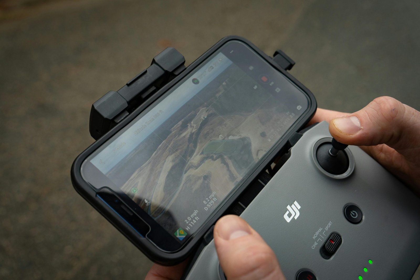
Unlike standard aerial photography providers, our FAA-certified drone pilots create orthomosaic maps, 3D models, and GIS-ready outputs tailored to specific project goals. In addition, customized mapping workflows help reduce manual surveying time while improving operational visibility across construction and development sites. Learn more on our About Us page or contact our team to discuss your next mapping project.

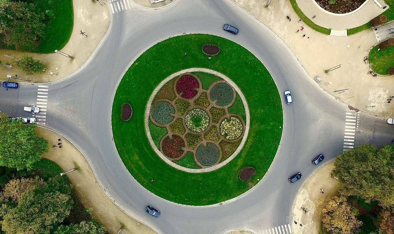
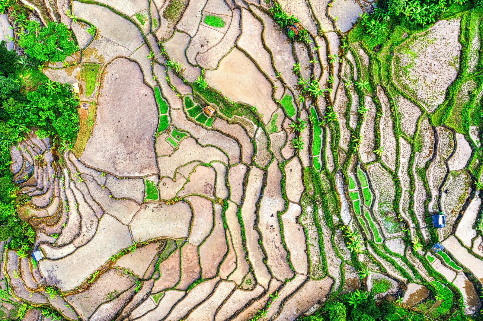
Reliable drone mapping services for construction, land development, and infrastructure projects. In addition, accurate aerial data helps improve planning and site visibility.

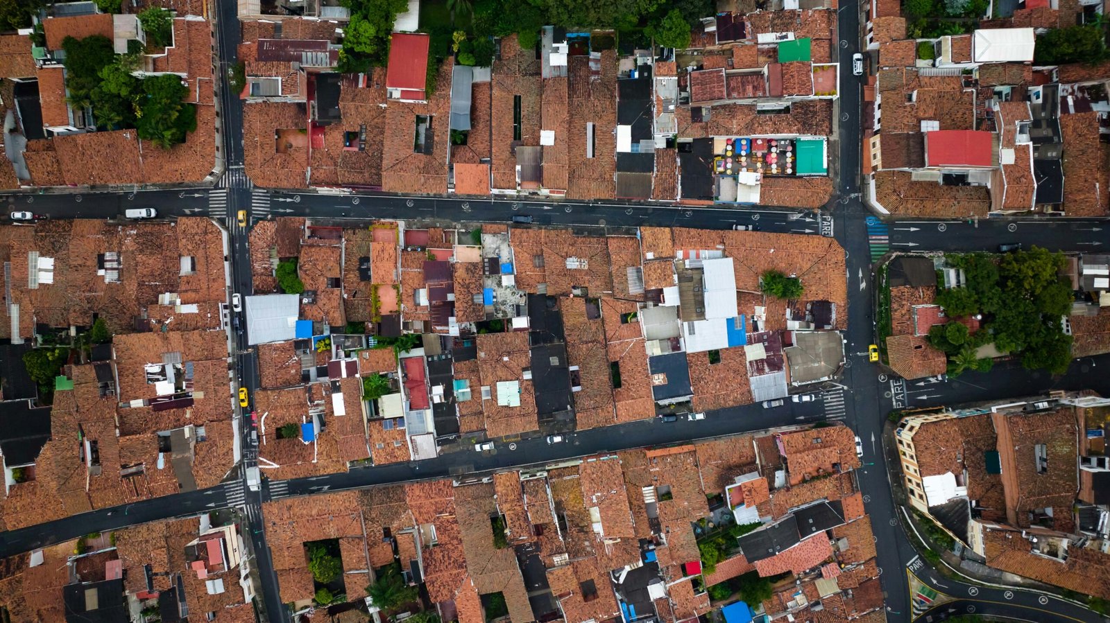
High-precision drone 3D mapping with orthomosaic maps and geospatial outputs. As a result, businesses receive clearer project insights and more reliable reporting.

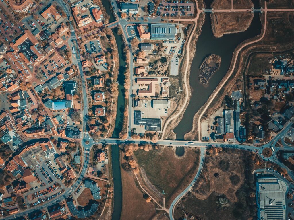
Commercial drone mapping solutions tailored to your project scope and industry needs. Furthermore, customized UAV workflows help support more efficient operations.

Scalable UAV mapping services with efficient workflows and transparent project support. Consequently, teams can reduce delays and improve coordination across job sites.

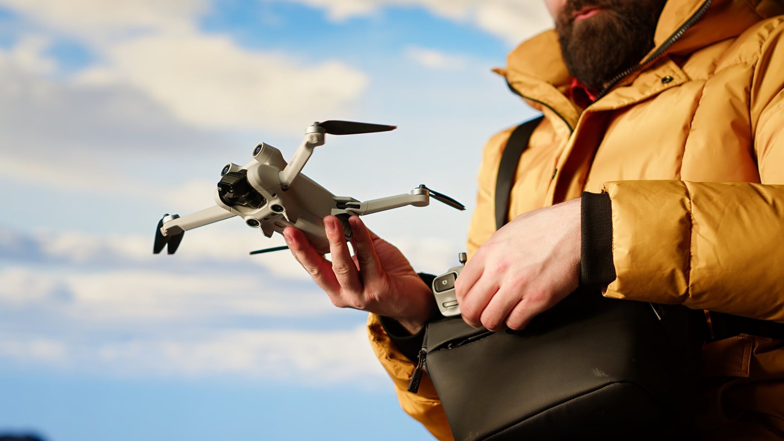
FAA-certified drone pilots delivering accurate aerial data and GIS-ready deliverables. Moreover, dependable mapping technology supports safer and more informed decision-making.

Fast turnaround times with dependable drone mapping services for commercial projects. Therefore, businesses can keep projects moving efficiently while improving overall productivity.

Trusted by Businesses Across Houston

Across Houston, developers, engineers, construction companies, and commercial property teams rely on our drone mapping services Houston clients trust for accurate aerial data and dependable project support. From UAV inspections and orthomosaic mapping to drone 3D mapping services, our team helps improve site visibility, documentation, and planning efficiency.

Most importantly, every project is completed with a strong focus on safety, precision, and reliable results. Furthermore, dependable geospatial data supports agriculture, infrastructure, roofing, and land development operations throughout the Houston area.

Elit tellus, luctus nec ullam corper mattis, pulvinar dapibus leo. Nam varius consec tetur. Lorem ipsum dolor sit amet, consec tetur.
Smiling woman wearing a hat, captured in a black-and-white portrait, showing a joyful expression while looking slightly to the side.
Jemma Stone

Acme Inc.

Rated 5 out of 5
Elit tellus, luctus nec ullam corper mattis, pulvinar dapibus leo. Nam varius consec tetur. Lorem ipsum dolor sit amet, consec tetur.
Black and white portrait of a smiling young man with a mustache and goatee, standing in front of several upright surfboards.
Jemma Stone

Aeser Corp.

Rated 5 out of 5

Schedule Your Drone Mapping Project Today!

Book trusted drone mapping services Houston businesses rely on for accurate aerial data, orthomosaic maps, and dependable geospatial insights. In addition, FAA-certified drone pilots support construction, infrastructure, agriculture, and land development projects with efficient UAV mapping solutions tailored to specific project goals.

Scroll to Top