
Drone Services in Houston for Commercial Projects
ISKY Drone Services provides a full range of professional drone services in Houston for commercial, industrial, and logistical operations. From aerial inspections to drone photography and videography, we help businesses complete projects more efficiently and with greater accuracy.
In addition, our team delivers reliable aerial data, high-quality visuals, and fast turnaround times to support your workflow. Whether you need inspections, progress tracking, or marketing content, we provide solutions that keep your project moving safely and on schedule. As a result, you can make faster decisions and maintain better control over your operations.
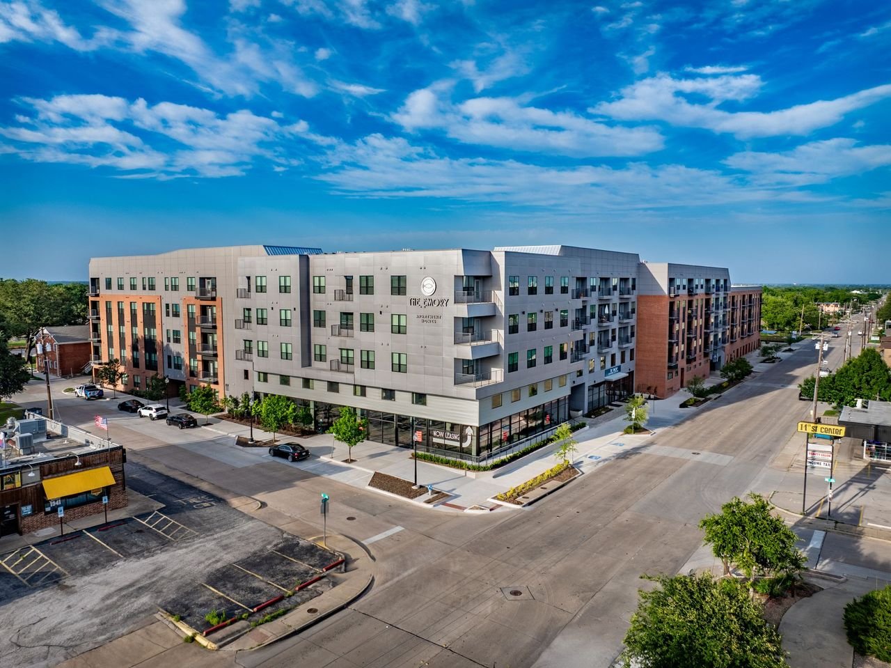
Drone Photography and Videography Solutions
Capture high-quality visuals with professional drone photography and videography. In addition, our aerial content helps showcase properties, projects, and businesses with clear, cinematic footage for marketing, real estate, and commercial use.
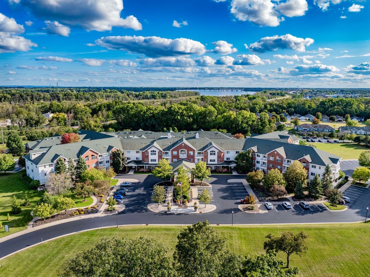
Aerial Inspection Services
Inspect roofs, buildings, and infrastructure with detailed aerial drone inspections. Because we use high-resolution and thermal imaging, you can identify issues early while reducing safety risks and avoiding costly delays.
Drone Mapping & Surveying
Generate accurate site data with advanced drone mapping and surveying. As a result, you get orthomosaics, point clouds, and geospatial data that support construction planning, land development, and site analysis.
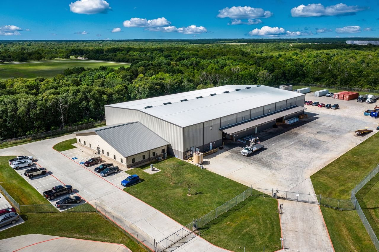
Commercial Flight Operations
Execute complex projects with certified commercial drone flight operations. In addition, our structured planning and experienced pilots ensure safe, compliant, and efficient service across multiple industries.
Thermal Imaging Services
Detect hidden problems with precise thermal drone imaging. Because heat patterns reveal issues not visible to the eye, this service is ideal for roofs, solar panels, utilities, and industrial inspections.
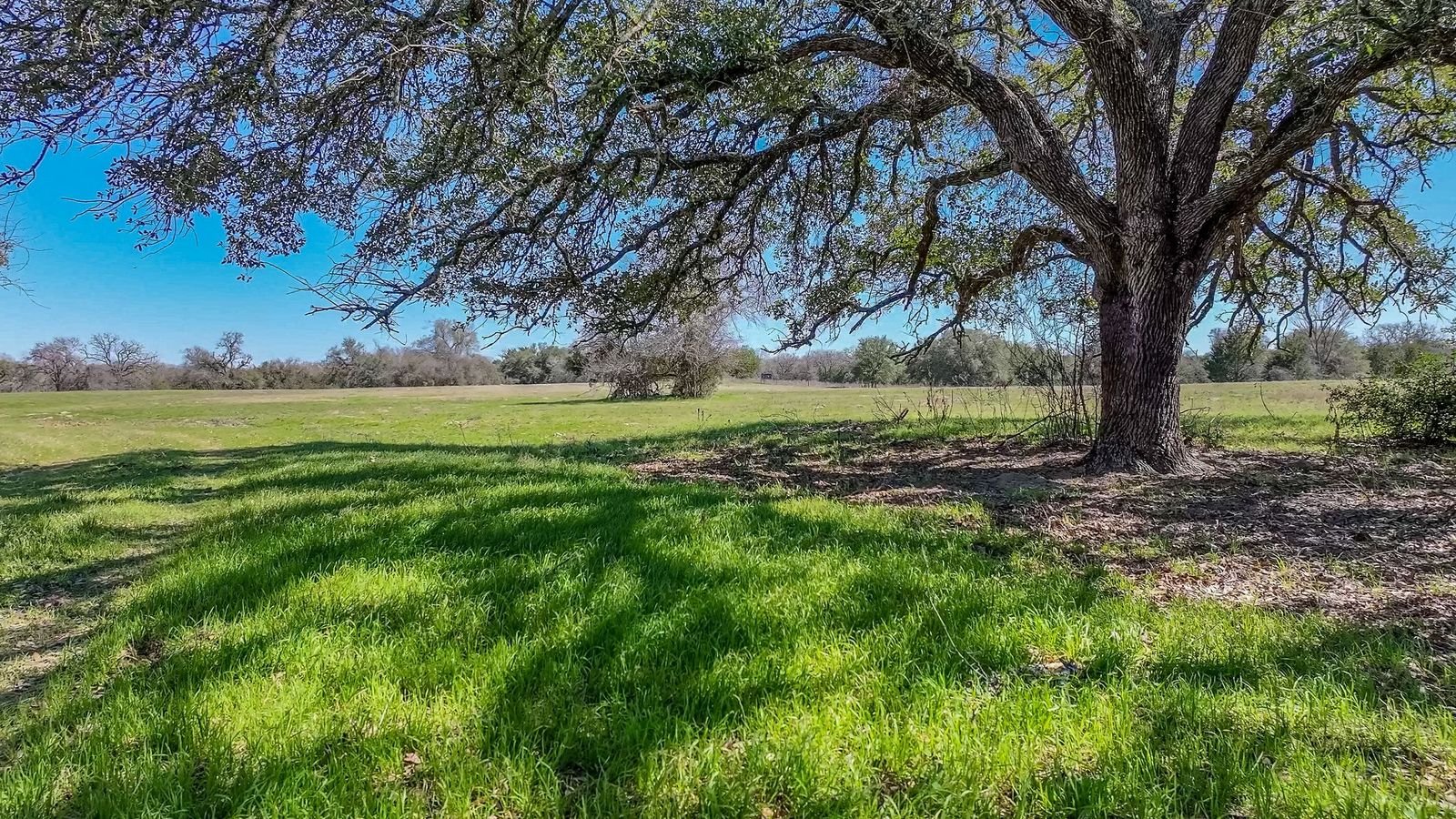
Agricultural Drone Solutions
Agricultural Drone Solutions (only keep if you actually want this market) Improve field management with agricultural drone solutions. In addition, aerial data supports crop monitoring, efficiency tracking, and better decision-making for large-scale operations.