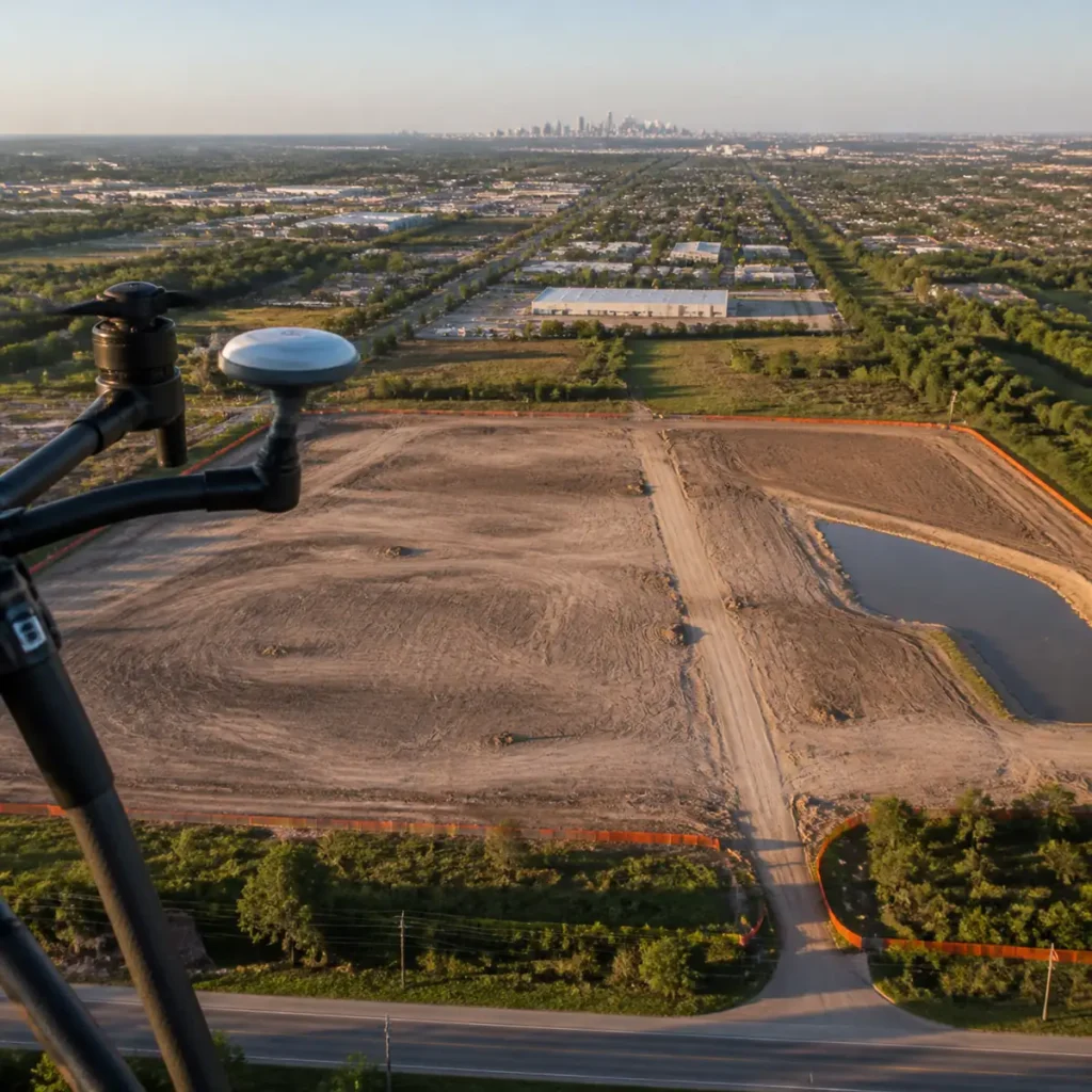
Aerial Drone Insurance Claim Documentation in Houston, TX
Fast, objective, high-resolution aerial and thermal documentation for wind, hail, hurricane, and water-intrusion claims—giving property owners, contractors, and adjusters accurate visual proof without dangerous ladder access.
Drone Documentation Services for Property Insurance Claims
Post-Storm & Hail Damage Assessments
High-zoom, geo-tagged aerial imagery capturing lifted shingles, hail impacts, membrane tears, and structural damage safely across residential and commercial roofs.
Thermal Moisture & Water Intrusion Scans
Calibrated radiometric infrared imaging to detect trapped sub-surface roof moisture and flat-roof leaks invisible to standard cameras.
Pre-Loss Baseline Property Documentation
Proactive aerial and thermal baseline records captured before hurricane season so you have undeniable before-and-after proof if a storm strikes.
Insurance-Ready Deliverables & Inspection Reports
- Timestamped & Geo-Tagged High-Res Photos: EXIF-verified, high-resolution RGB close-ups and wide-angle context shots proving exact date, time, and GPS location of property conditions.
- Annotated Roof & Elevation Defect Maps:Clear visual callouts marking damaged roof slopes, flashing failures, HVAC impacts, and affected areas for easy adjuster review.
- Carrier-Ready PDF Documentation Package:Organized, shareable digital report built for seamless review by insurance adjusters, restoration contractors, and property managers.
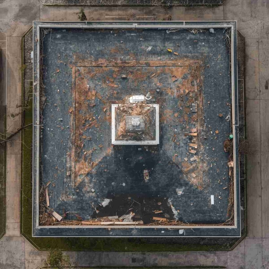
Objective, FAA-Compliant Aerial Evidence
Our FAA Part 107 certified and commercially insured pilots provide unbiased, factual visual and thermal documentation to support your property claim. We deliver calibrated aerial imagery and measurements working alongside property owners, roofing contractors, and licensed adjusters without acting as a public adjuster.