
Industrial & Commercial Construction Progress Flights
Scheduled aerial site documentation, orthomosaic mapping, and milestone tracking for industrial and commercial builders across Pearland.
Scheduled aerial site documentation, orthomosaic mapping, and milestone tracking for industrial and commercial builders across Pearland.
Crisp 4K aerial video and marketing photography showcasing retail centers, commercial corridors, and residential developments.
Safe, detailed high-zoom aerial inspections to assess wind or hail damage on commercial and residential roofs and building facades.
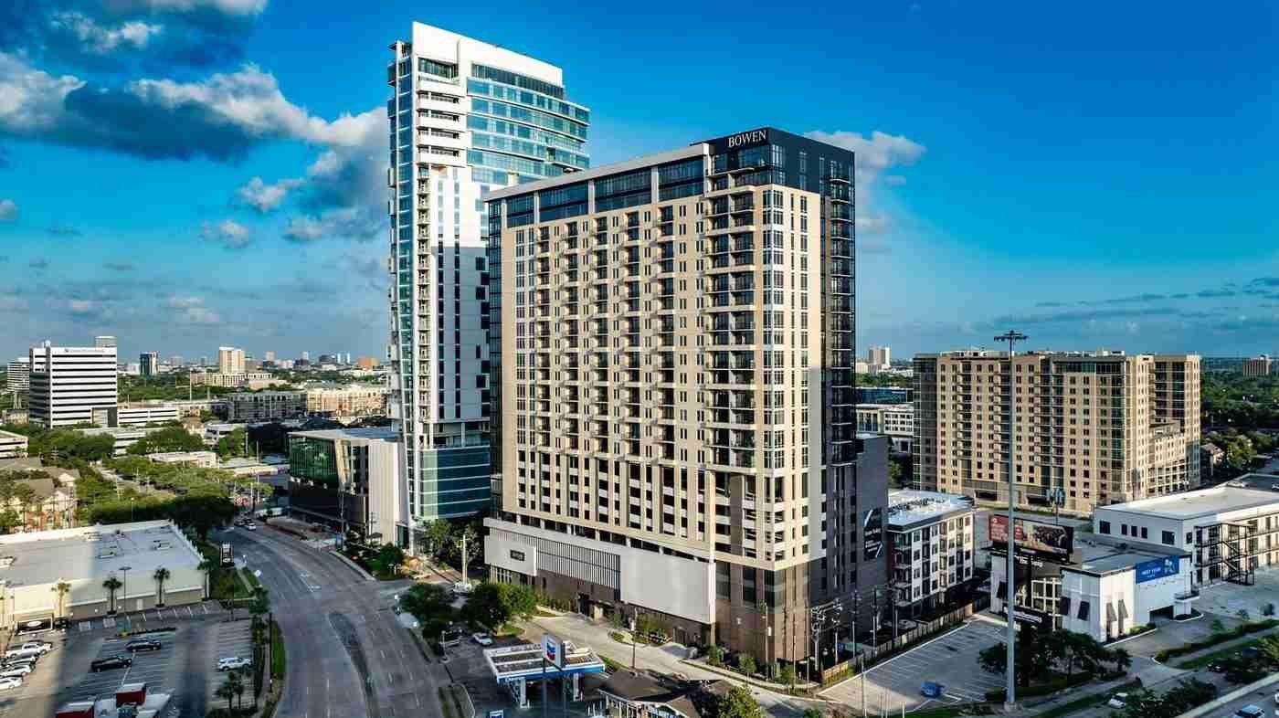
Commercial Site near Shadow Creek Ranch / Broadway St., Pearland, TX
Document commercial construction milestones and capture high-resolution aerial visuals for property marketing.
4K aerial progress video, 25 edited high-resolution photos, and a 2D orthomosaic site map.