
A drone storm damage assessment gives Houston property owners what a ground-level walk-around can’t after a hurricane. It shows the roof damage that actually decides your insurance claim. That damage usually sits on the slope you can’t see from the street. Wind-lifted shingles, missing tabs, and cracked flashing cluster on the back plane and along the perimeter. By the time a stain reaches a ceiling inside, the water has traveled well past where it got in.
That gap is why aerial documentation has become the smarter first move for Houston property owners and managers. A short, planned flight captures high-resolution, time-stamped images of the whole roof. It happens before any crew starts emergency work. Adjusters increasingly want that kind of record, not a roofer’s word. Imagery captured before repairs begin is what protects the claim.
This guide covers what to document and when it’s safe and legal to fly. It also shows how to build a photo set that holds up during a busy claim season.
Why aerial imagery beats a ground inspection
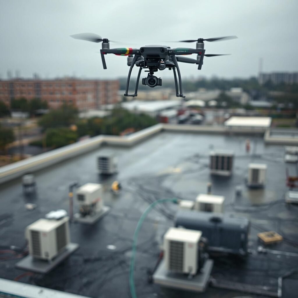
After a storm, a commercial roof is one of the worst places to send a person. Standing water hides soft spots, debris covers punctures, and wet membrane is slick. A drone maps the whole roof in a single pass and flags problems you’d otherwise miss until the next rain — without putting anyone on a ladder above an unstable surface.
The evidence is also stronger. A drone captures every roof plane the same way, at full resolution, with a date and time baked into each file. When a claims adjuster reviews that set, it’s easy to tell storm-related damage from old wear, prior patches, or earlier impact marks. A quick walk-around with a phone rarely does that. If you’re weighing your options, here’s how drone roof inspections compare to a traditional roof check.
What insurance adjusters actually want to see
What insurance adjusters actually want to see
Adjusters handle heavy caseloads after a Houston hurricane. A clear, structured set moves your claim faster than a folder of random close-ups. Aim to document:
- Every roof plane — overhead and 45-degree oblique shots of each slope, plus ridges, hips, and valleys.
- The perimeter and drainage path — drip edge, gutters, downspouts, and fascia, where uplift and water damage start.
- All penetrations — vents, skylights, chimneys, pipe boots, and equipment curbs, where seals fail and leaks begin.
- Detail close-ups — lifted shingles, punctures, and displaced flashing. Pair each one with a wider shot that shows its location.
A close-up of a puncture is far stronger with context. An oblique shot proves it sits right beside a vent boot on the leeward slope. Context is what turns a photo into proof.
When it’s safe and legal to fly after a storm
Timing matters. Wait for stable weather and steady winds before you fly — gusty post-storm bands cause blurry footage, incomplete coverage, and lost aircraft. Treat the site as a hazard zone first: confirm the property is clear of downed power lines and unstable trees before anything leaves the ground.
The legal side matters just as much. Documenting damage for an insurance claim is a commercial purpose, so it falls under the FAA’s Part 107 rules, which require a certified remote pilot. Houston sits near several major airports and busy heli routes, so airspace has to be checked every flight — even on a property you’ve flown before. After a major storm, the FAA often issues temporary flight restrictions over response and recovery zones, and those can change by the hour. If you’re hiring a pilot, ask how they handle airspace and NOTAM checks.
For seasonal context, the National Hurricane Center tracks Gulf activity through the season, which runs June into November and peaks in late summer.
Your first 24–72 hours: a documentation plan
The window right after a storm is when your evidence is strongest. A simple, repeatable order keeps the set complete:
- Note the ground story first. Walk the exterior and photograph debris patterns, fallen limbs, and visible impacts. These shots explain the aerial images later, especially when roof damage lines up with a debris field.
- Fly the overviews. Capture overhead and oblique shots of each roof plane so you can see how damage is distributed before you zoom in on any single spot.
- Get the detail passes. Move to close-ups of shingles, flashing, penetrations, gutters, and fascia. Fly close and steady enough to show granule loss and fastener lines without digital zoom.
- Document before you tarp. If active leaking forces an emergency tarp, grab quick overviews and a few close-ups first, then return for a full set once conditions settle.
- Organize files immediately. Back up the originals with their metadata intact, name files by roof plane and damage type, and keep a short log matching photos to dates and observations.
That last step does more than it looks like. A one-page index that maps “north slope, mid-field — shingle lift” to an exact filename cuts adjuster back-and-forth and speeds re-inspections.
What a drone can — and can’t — detect
A drone storm damage assessment is excellent at catching the visible, wind-driven damage that hurricanes cause: missing and lifted shingles, punctures, displaced ridge caps, bent drip edge, and gutter separation. The imagery shows how that damage tracks along edges and corners, where wind pressure concentrates. With sharp, close, well-lit passes, a drone can even reveal impact marks and granule loss.
What a drone can’t do is confirm what’s already inside the roof. A slope can look fine from above while water is sitting in the insulation or decking. When you see ceiling stains, bubbling paint, or a musty smell, pair the aerial set with an attic check and moisture readings. Drone thermal imaging can confirm where a leak entered, and our thermal imaging servicesare built for exactly that kind of follow-up. Aerial imagery is one part of a complete storm-damage record, not the whole thing.
DIY vs. hiring a Part 107 pilot
A homeowner-grade drone can give you a quick look, and you’re allowed to fly your own property if you can do it safely and legally. The common DIY gap is coverage: edges, gutters, and flashing transitions get skipped, resolution runs too low to prove shingle condition, and metadata gets stripped by filters or re-saving.
A professional flight is more likely to deliver systematic, repeatable coverage with clean, unedited originals — the kind of package that matches how adjusters review a claim. For commercial documentation, a Part 107-certified pilot is often required outright, and the liability of flying near people, traffic, and damaged structures makes controlled flight paths worth paying for. The same logic applies to a full commercial building drone inspection, where scale and access make a professional set the practical choice.
Documentation mistakes that weaken a claim
A few avoidable errors do the most damage to a storm claim:
- Repairing before documenting. Once a tarp or patch goes on, you’ve lost the original condition. If you must act fast, photograph the damage, the materials, and the finished temporary fix.
- Only shooting the worst spot. Adjusters need the whole roof plane to judge whether damage is isolated or widespread. A single dramatic close-up isn’t enough.
- Over-editing images. Filters and heavy sharpening strip the timestamp and GPS data that make your set credible. Keep the originals untouched.
- Skipping the airspace check. Ignoring TFRs or restricted zones after a disaster isn’t just a fine risk — it interferes with active recovery flights.
Frequently asked questions
How much does a drone roof inspection cost in Houston? Pricing depends on roof size, access, and deliverables. Basic photo-and-video capture often starts in the low hundreds, while multi-building campuses or annotated claim reports run higher.
Is a drone storm damage assessment worth it? After a hurricane, usually yes. It documents hard-to-see slopes safely and quickly, and the time-stamped, before-repairs record is what tends to reduce disputes over storm-related versus pre-existing damage.
Can I inspect my own roof with a drone? You can if you can fly safely and legally where you are. If the imagery is for a commercial claim, Part 107 certification typically applies — so many owners hire a certified pilot to keep the evidence clean.
What drones do professionals use for roof inspections? Most use camera drones with strong stabilization, good low-light performance, and obstacle avoidance. Enterprise models add higher-resolution sensors and repeatable oblique capture across multiple roof planes.
Get a claim-ready assessment before repairs start
The safest, strongest move after a Houston storm is to document quickly, then protect the roof. Prioritize safety, capture systematic coverage with overviews and close-ups, and keep organized originals an adjuster can review without guessing.
If you want a structured, claim-ready deliverable, our Houston team handles drone roof inspections and full aerial inspection services built for insurance documentation. And when the claim turns into a rebuild, the same aerial approach supports construction progress monitoring from the ground up.
Book a drone storm damage assessment while the evidence is fresh — before the tarps go on.