cw-check-https://test.com/
cw-check https://test.com
Your blog category
ghstbuyer 2007 Mandating this type of extremely important health and fitness benefits guarantees complete coverage for those and you may
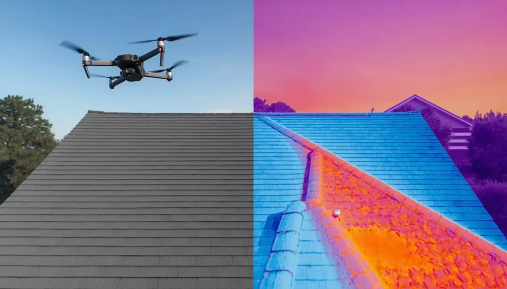
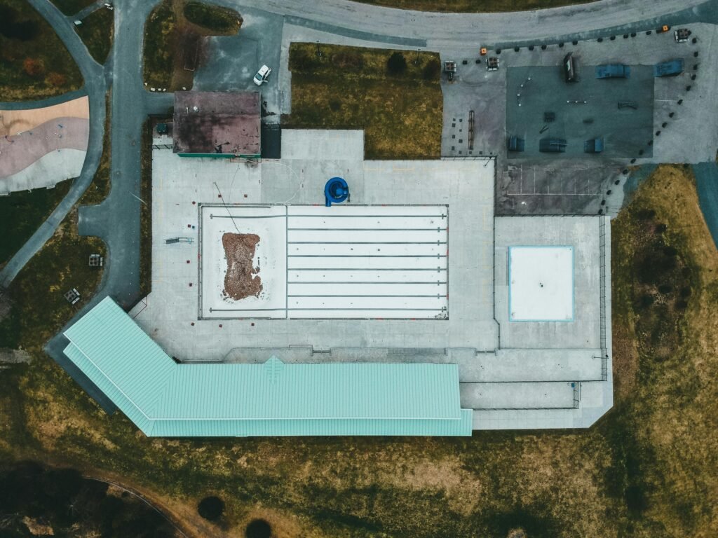
A thermal drone roof inspection in Houston typically costs between $300 and $800. Simple single-family roofs typically start around $300–$500, while
A drone storm damage assessment gives Houston property owners what a ground-level walk-around can’t after a hurricane. It shows the
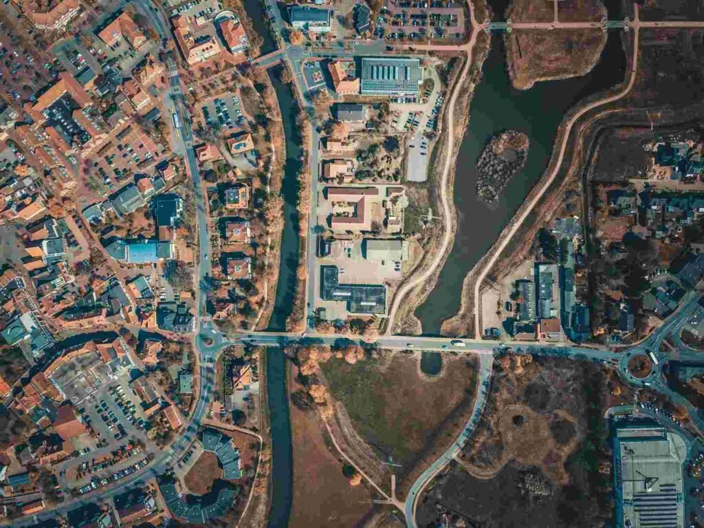
Drone photography for real estate listings in Houston answers the questions a ground-level shot never can: Where does the lot
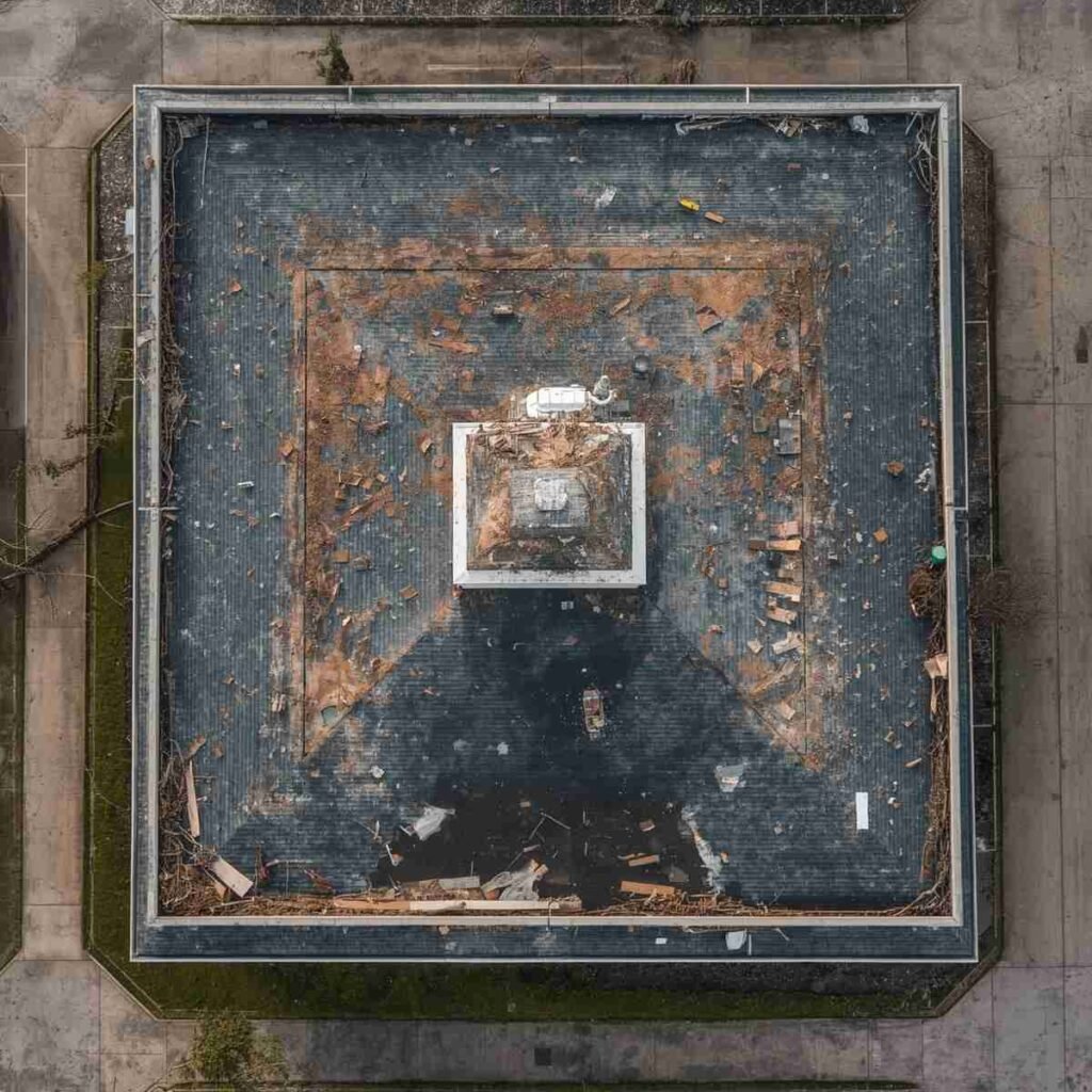
Roof failures often start as small exterior defects, not dramatic leaks, and that is why many commercial owners miss the
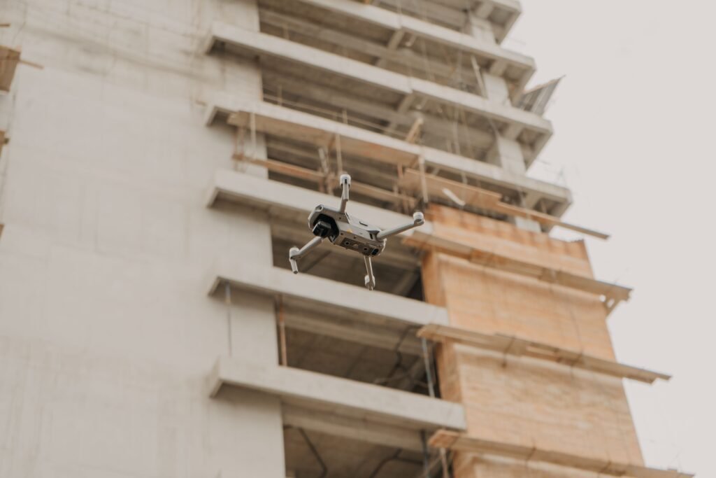
Houston projects move fast, sprawl wide, and require project teams to make decisions without every stakeholder on-site.Construction drone mapping gives project
Construction progress monitoring can prevent a small oversight on a 40-acre job site from turning into a week of schedule
After a Houston wind event, the biggest roofing mistakes usually happen before repairs even start: missed damage, weak documentation, and
A ceiling stain can show up 30 feet from where water actually entered the roof. In Houston, that gap between